
HOME » WALKS & PHOTOGRAPHY ARCHIVE » CHESHIRE WALKS & PHOTOGRAPHY » WILDBOARCLOUGH
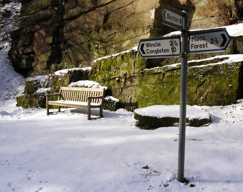
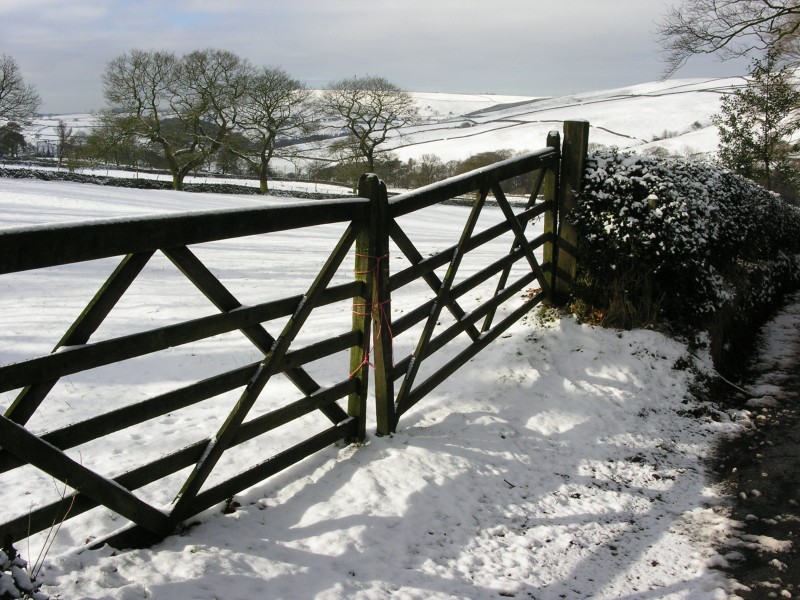
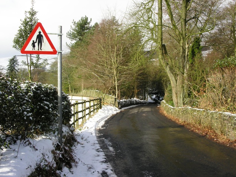
WILDBOARCLOUGH - 29/02/04We visit Wildboarclough for a short walk today, you can reach Wildboarclough from the A54, Buxton to Congleton road or, as we approach today, along the minor roads through Macclesfield Forest. For a map of the area click here. The weather is cold, but dry and bright.
 |
 |
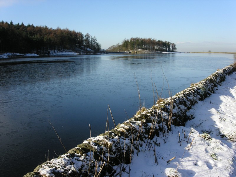 |
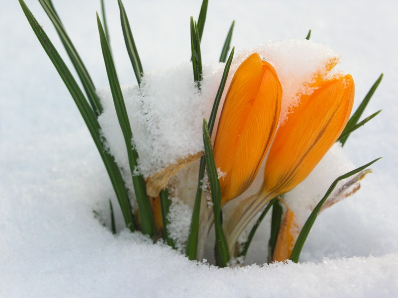
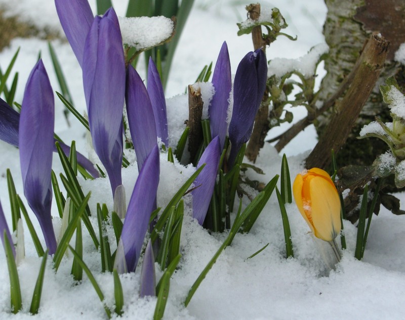
| Colourful spring bulbs in the snow and a peaceful Ridgegate Reservoir in Macclesfield Forest, en-route to Wildboarclough. | ||
 |
 |
 |
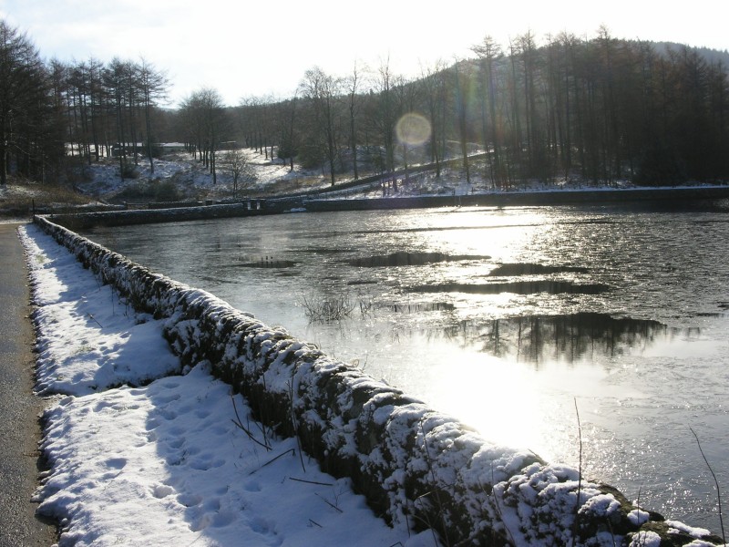
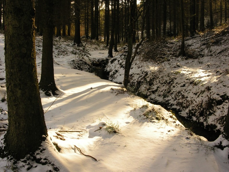
| A couple more photos from Macclesfield Forest, the low sun shining through the forest's trees, before we reach the village of Wildboarclough. | ||
 |
 |
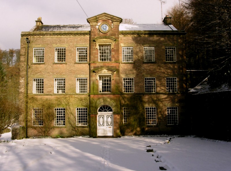 |
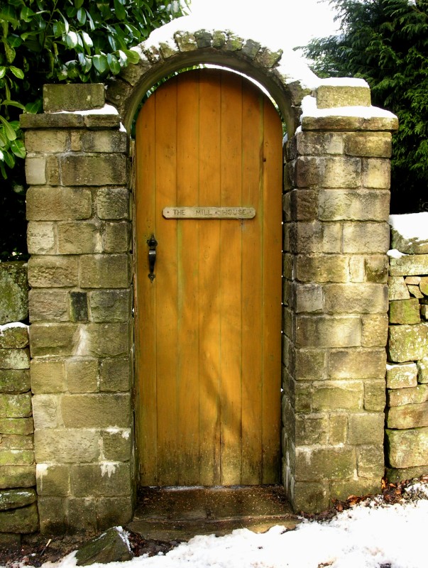
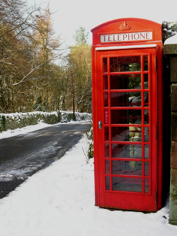
| Scenes from Wildboarclough, the imposing building on the right used to be the largest sub post office in England. | ||
 |
 |
 |
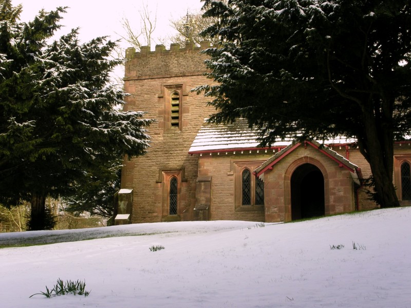
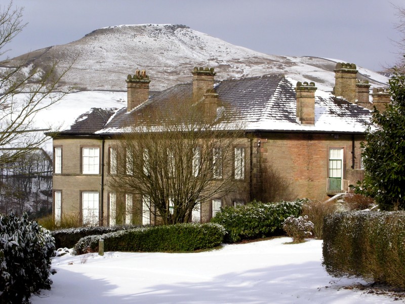
| St Saviour's Church on the left above. Centre photo shows Crag Hall with the conical peak of Shutlingslowe in the background. More commonly spelt as Shutlingsloe since being spelt incorrectly in the 1980's. The origin of the name comes from a Celtic Tribe the 'Shutta' and Lowe meaning hill or mound. (Thanks to Doug Pickford for this information). | ||
 |
 |
 |
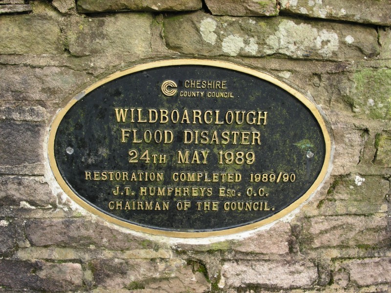
| A commemorative plaque on Clough Bridge over Clough Brook, to remember the disaster here in Wildboarclough in 1989. For more information and photos from Wildboarclough see our visits from 18/05/03 and 11/01/04. | ||
|
|
|
|
|
Images Copyright Nicky Griffiths 2003- |