
CASTLETON, EDALE, LADYBOWER RESERVOIR - 15/08/04
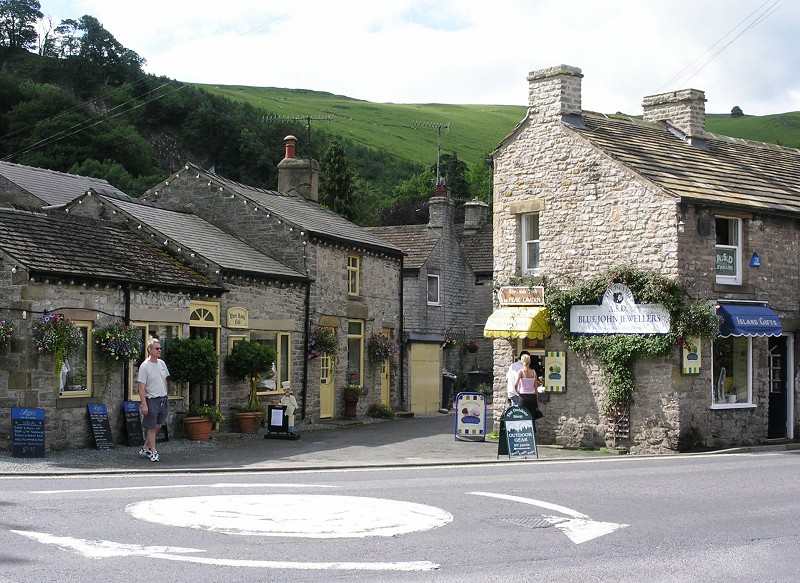
Today's visit was to Castleton and it's surrounding areas in the Peak District, Derbyshire. Castleton is located about 15 miles to the west of Sheffield, to see a map of the area click here. The weather today was dry and warm, 22˚C, with sunny intervals.
 |
 |
 |
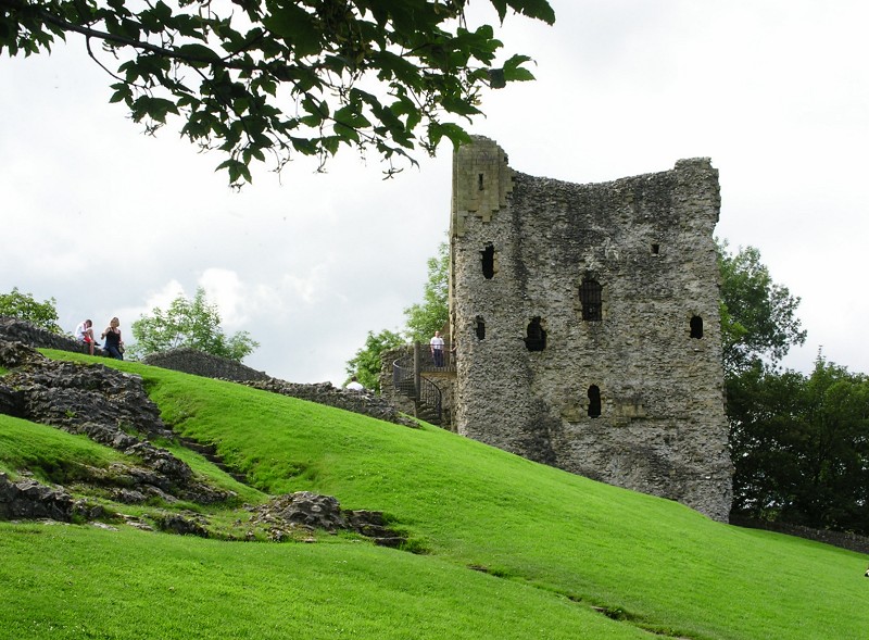
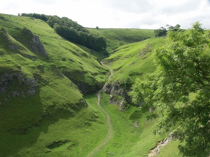
| The first location for the day was Peveril Castle in the care of English Heritage, there was a small admission charge, (£2.70 for adults at the time of writing). The Norman Castle is located high above Castleton with great views of the surrounding area and Castleton itself. | ||
 |
 |
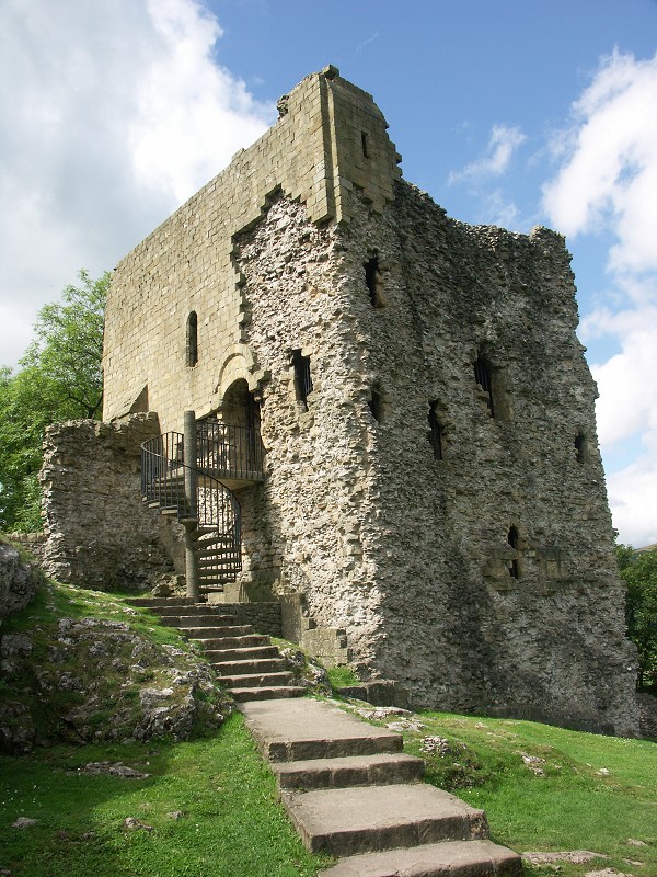 |
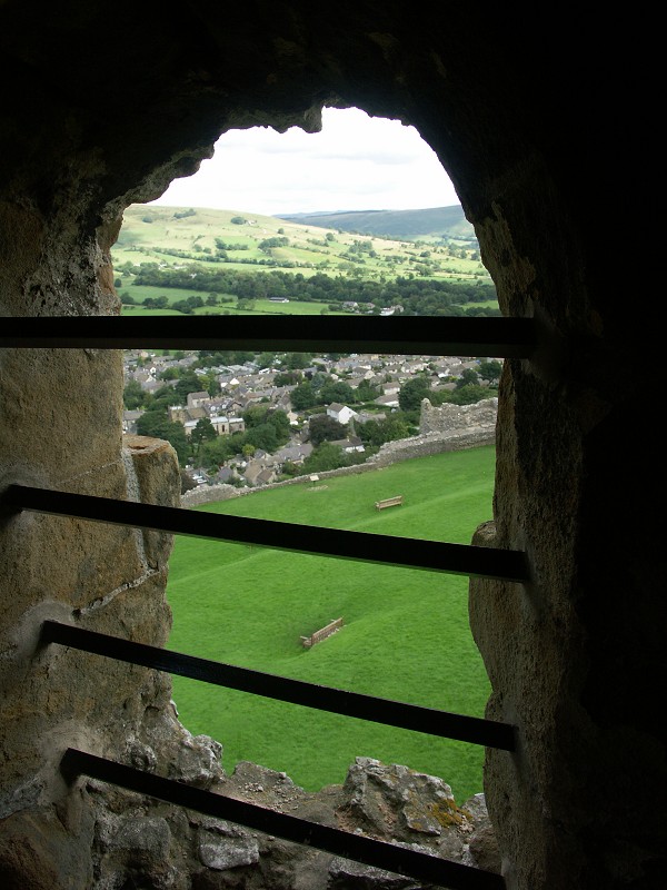
| Not that much remains of the original castle, the photo on the right above features the main survivor, the Keep. Centre photo shows one of views from the castle looking towards Cavedale. | ||
 |
 |
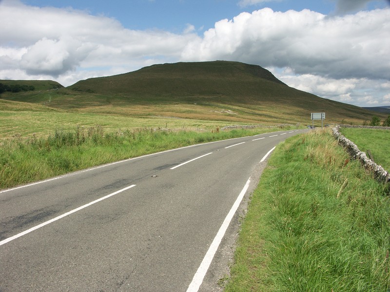 |
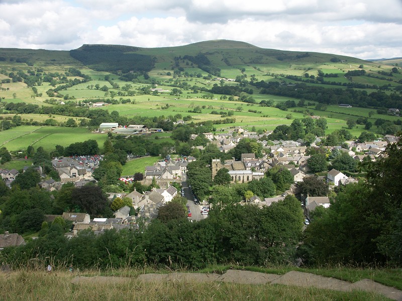
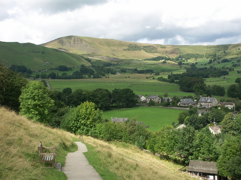
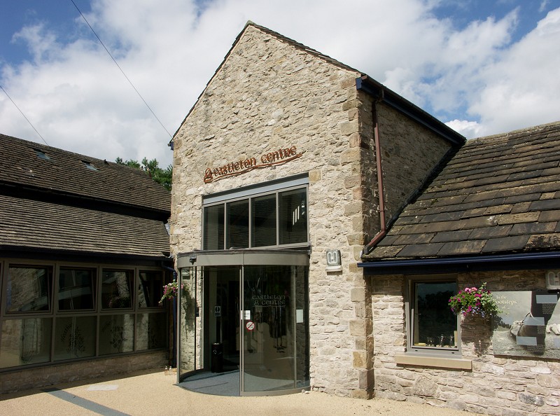
| The impressive Mam Tor, or 'Shivering Mountain' features in the photos to the left and right above. The main road from Stockport to Sheffield used to run through this area until landslips in 1974 meant the road had to be closed. The mountain is still unstable today and moves about 9cm per year. Centre photo shows an impressive new addition to the centre of Castleton since our last visit back in March 2003, the new Castleton Centre, featuring displays and information about the area. | ||
 |
 |
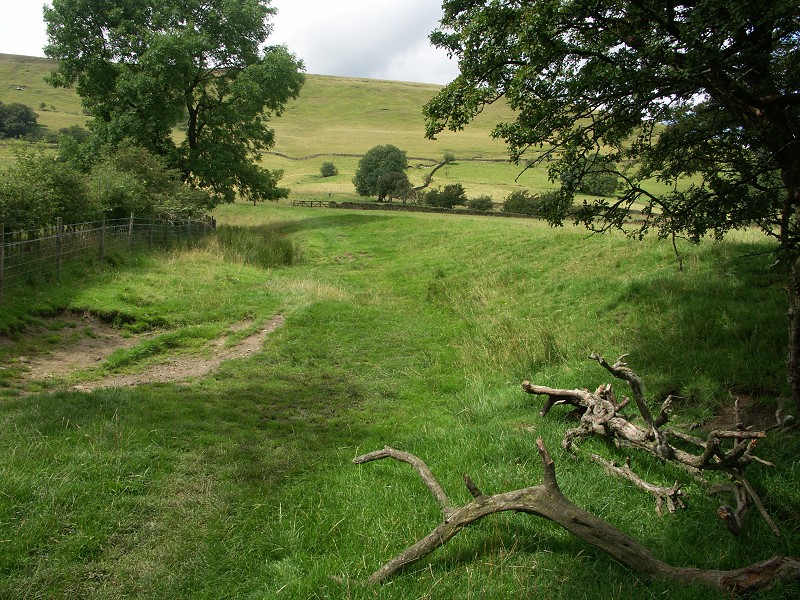 |
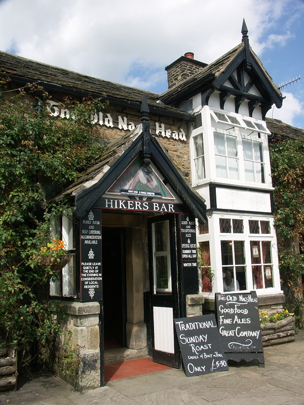
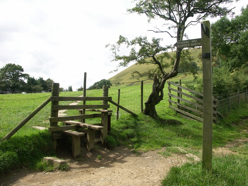
| Edale is the next destination for the day, located to the north west of Castleton. Edale is at the start of the famous walking route the Pennine way that runs from Edale north up to Kirk Yetholm in Scotland, a total distance of 270 miles. | ||
 |
 |
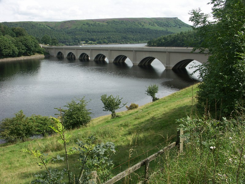 |
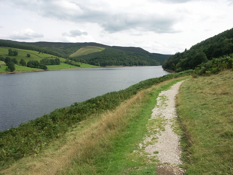
| Before heading home there was time for a quick look at Ladybower Reservoir, completed in 1945 it is one of three reservoirs in the Upper Derwent Valley. The area is famous for it's association with the 'Dambusters' and trials with Barnes Wallis' bouncing bomb. To see more photos from this area click here to see images from March 2003. | ||
|
|
|
|
|
Images Copyright Nicky Griffiths 2003- |