
HOME » WALKS & PHOTOGRAPHY ARCHIVE » CHESHIRE WALKS & PHOTOGRAPHY » PRESTBURY
PRESTBURY- 03/09/03Tonight we venture off to the small village of Prestbury, Cheshire. It is located between Wilmslow and Macclesfield on the A538 road, for a map showing the area click here. The weather is dry, mostly cloudy, but with occasional sunny spells, the temperature is approximately 21˚C. We enjoy a short walk through the village and back from the free of charge Shirley's car park, which is signposted to the right from the A538 main road just before you enter the centre of the village.
 |
 |
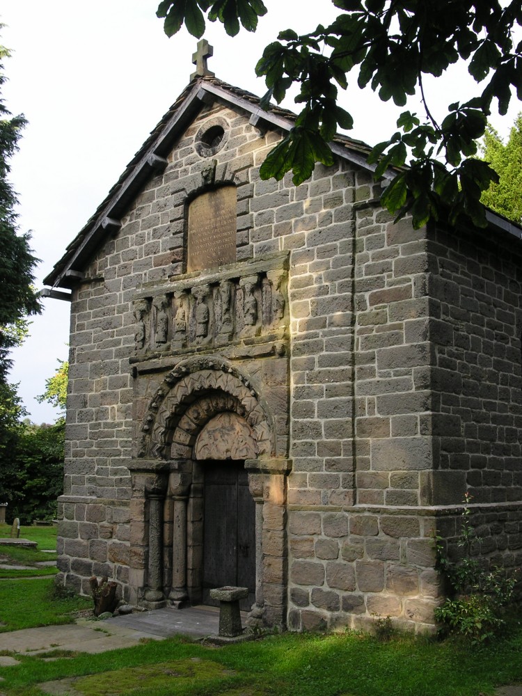 |
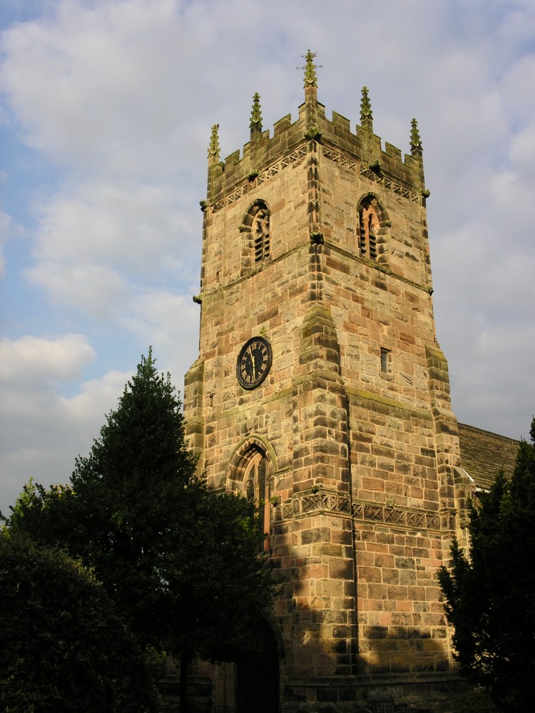
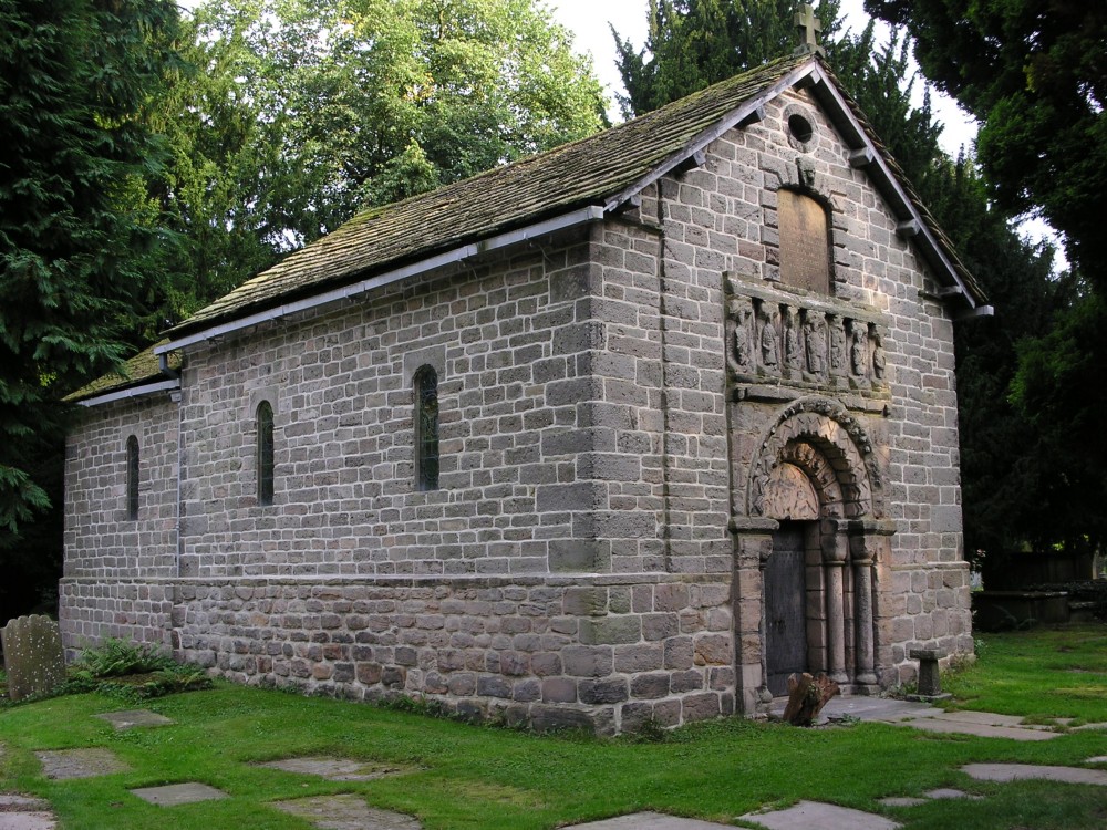
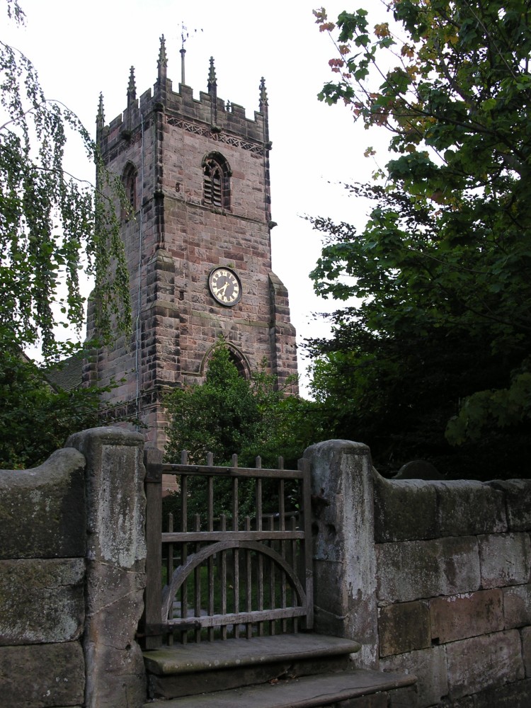
| The Parish Church of St Peter to the left. Centre and right photos show the historical Norman Church in the grounds; the Norman church is thought to originally date from around the year 1190, although it fell into ruin and was restored around 1750. | ||
 |
 |
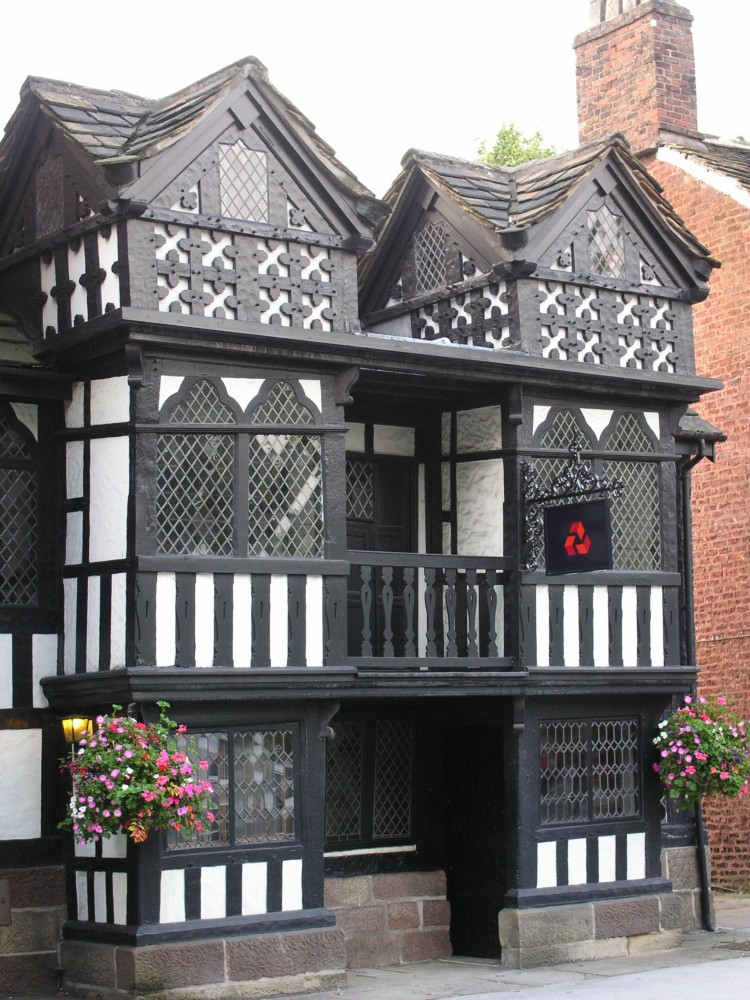 |
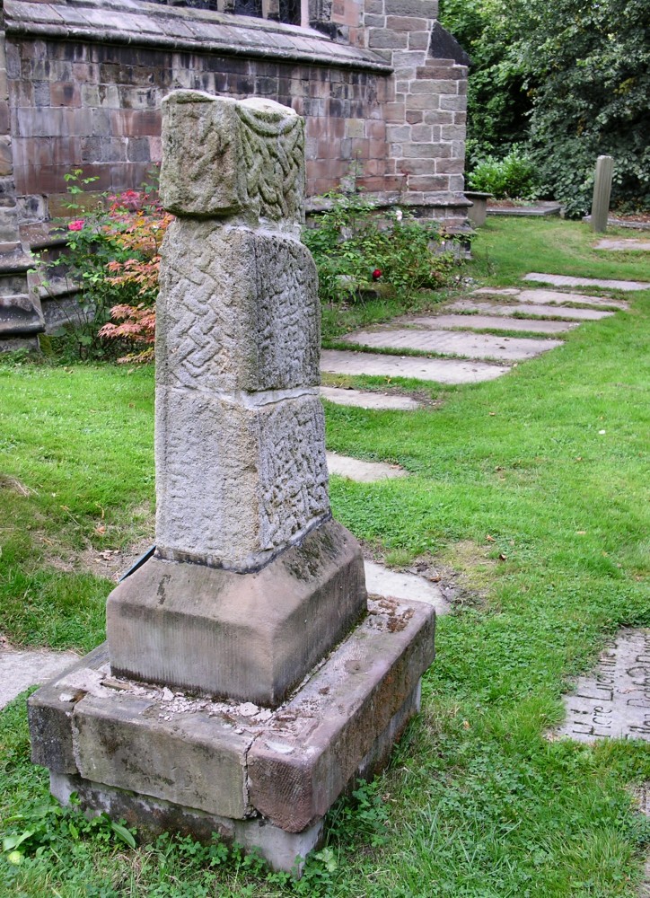
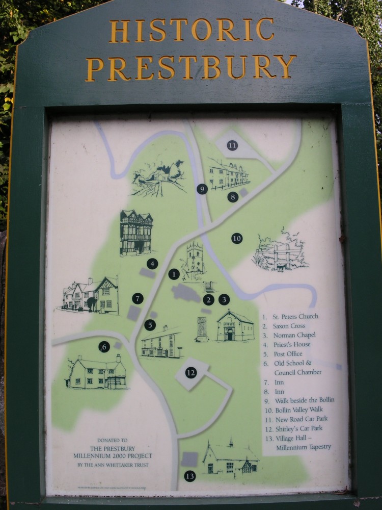
| Also to be found in the grounds of the church is a Saxon Cross, as the photo on the left; according to the inscription the cross was found embedded in the walls of the church, where it had been hidden from view for four centuries. Centre photo a map, showing the many parts to 'Historic Prestbury'. Right photo shows the now Natwest Bank, it used to be the Priest's House and is thought to date from the year 1498. | ||
 |
 |
 |
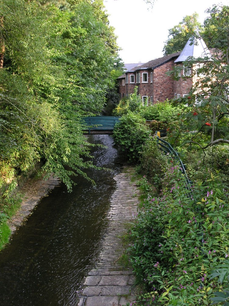
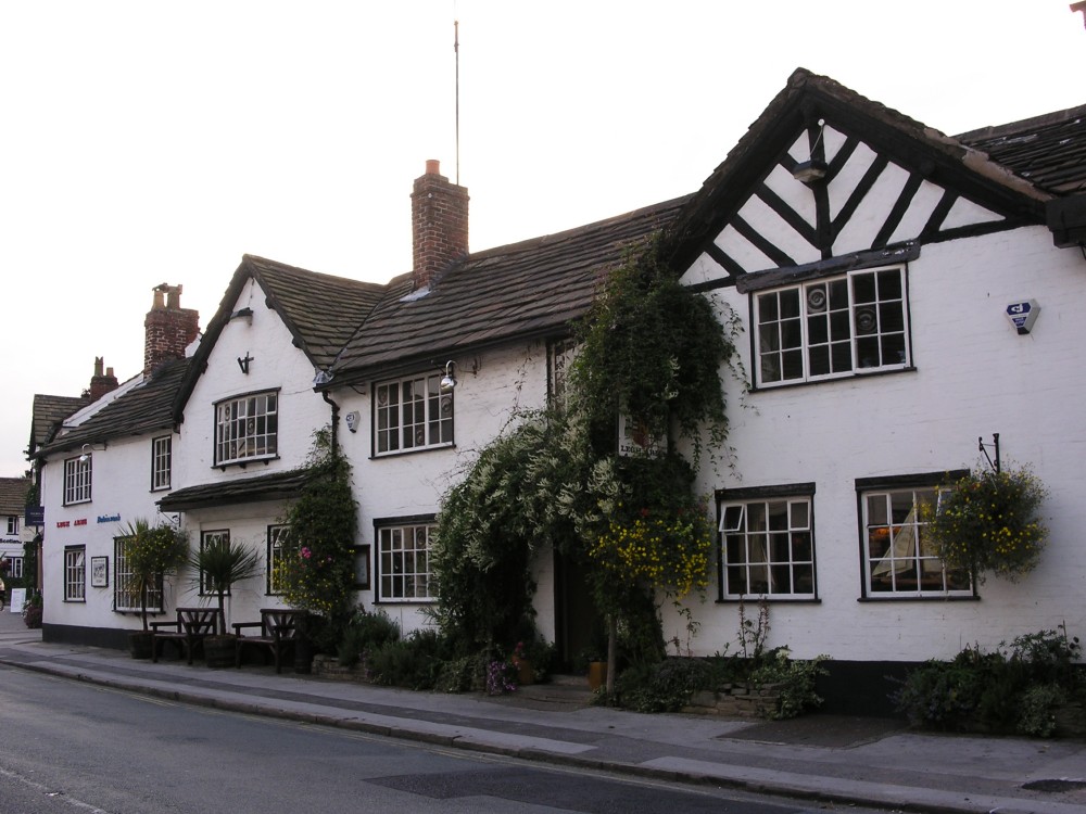
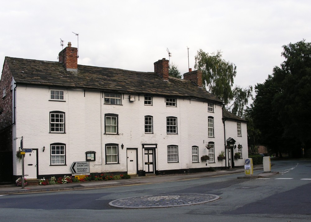
| Left photo shows the view down the River Bollin that runs through the village. Centre photo features some of the many restaurants, pubs and bistro's in the village. | ||
 |
 |
 |
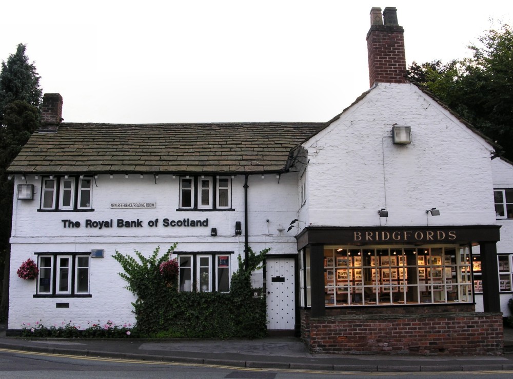
| More views from the village as we head back towards the car park, the centre photo, now an estate agent and bank, used to be an old school and council chamber. | ||
|
|
|
|
|
Images Copyright Nicky Griffiths 2003- |