
HOME » WALKS & PHOTOGRAPHY ARCHIVE » CHESHIRE / DERBYSHIRE » PEAK DISTRICT
PEAK DISTRICT - 28/08/06Dramatic lighting conditions across the Peak District and surrounding areas is the theme for this latest page of landscapes on Boots and Paws.
 |
 |
 |
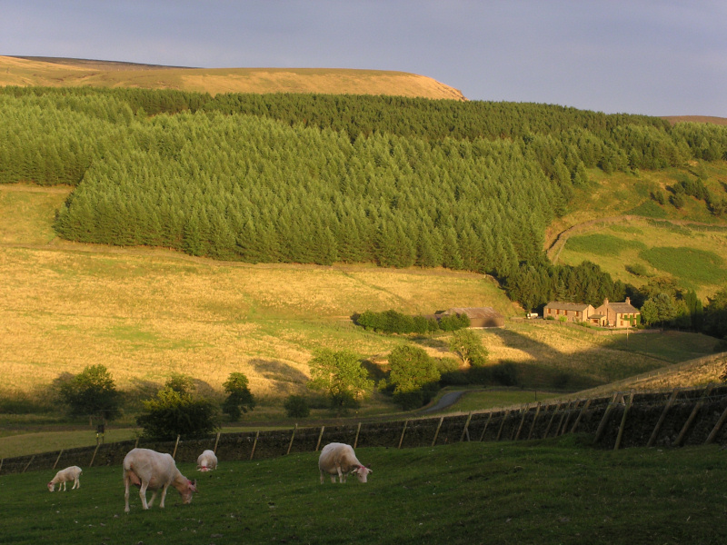
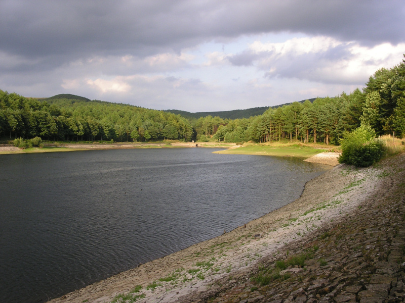
| From left to right the photos above show Wildboarclough, Ridgegate Reservoir at Macclesfield Forest and a view across hills from close to the Macclesfield to Buxton Road with the summit of Shutlingsloe in the distance. | ||
 |
 |
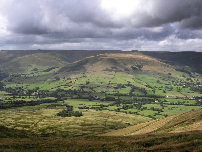 |
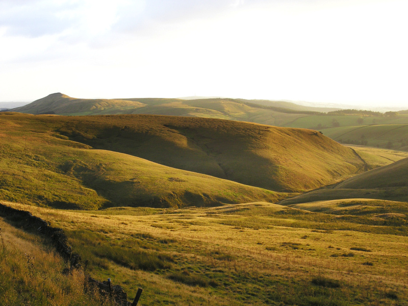
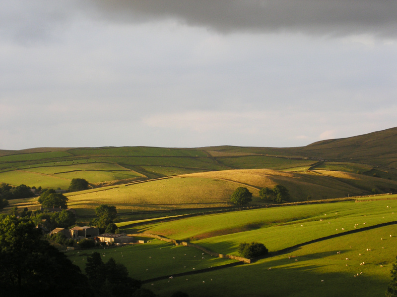
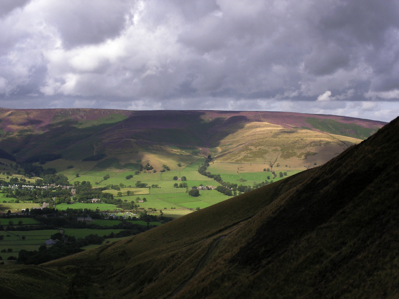
| Late evening sunshine from Standing Stone, Macclesfield and two views taken on a short walk to the summit of Mam Tor near Castleton. The views are taken towards the north and the beautiful Vale of Edale, the start of the Pennine Way. | ||
 |
 |
 |
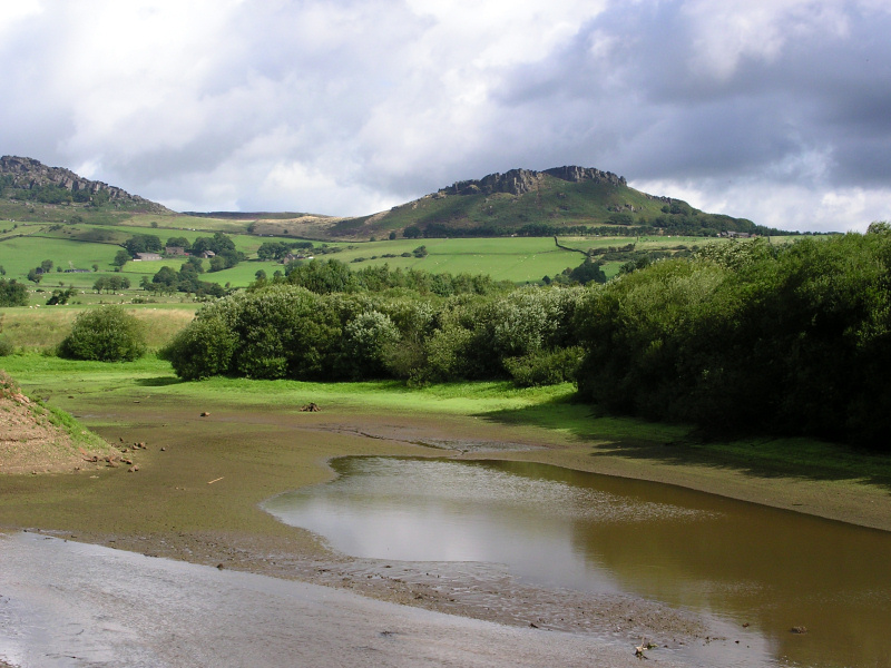
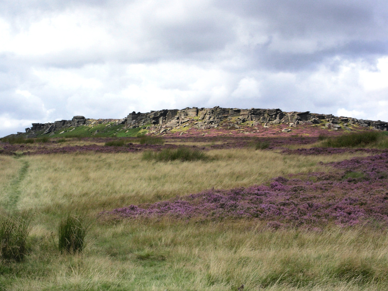
| Hen Cloud, (left photo) at the Roaches provides the backdrop for a view from Tittesworth Reservoir where water levels have dropped in recent weeks. The reservoir was formed in 1858 by a dam across the Churnet Valley and provides drinking water for the Stoke-on-Trent area. The other two pictures above show Stanage Edge near Hathersage and a scene reminiscent of the Yorkshire Dales with an old barn and dry stone walls near Longnor. | ||
 |
 |
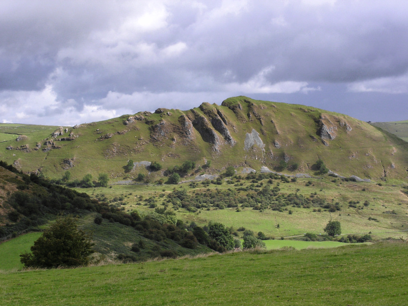 |
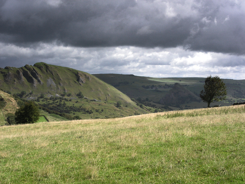
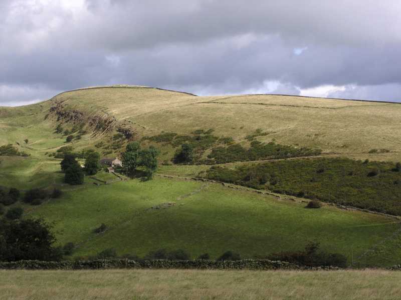
| Storm clouds race across the reef limestone summits of Chrome Hill and Parkhouse Hill close to Hollinsclough Village. | ||
|
|
|
|
|
Images Copyright Nicky Griffiths 2003- |