
NORFOLK - PAGE 3 - (06/05)
More Norfolk photographs from different locations across the county.
 |
 |
 |
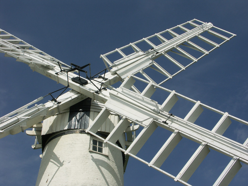
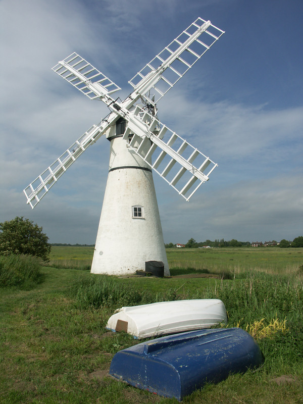
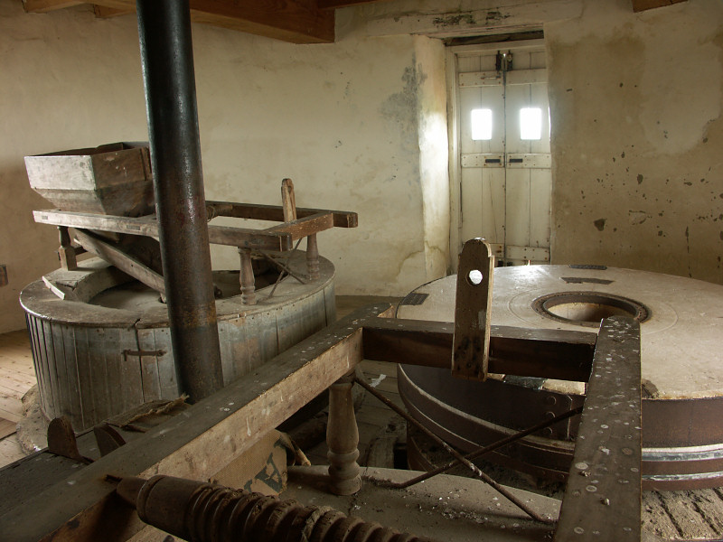
| Thurne Wind Pump on the eastern bank of the River Thurne was built in 1820; the striking white painted brick tower is one of the most photographed places in the Norfolk Broads. The Broads, linked by a network of rivers are a human creation, caused by the digging out of peat, (used for fuel) from the 12th to the 14th century, these areas gradually flooded with water to create the shallow lakes. | ||
 |
 |
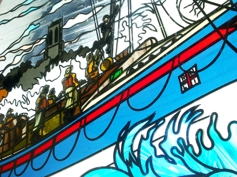 |
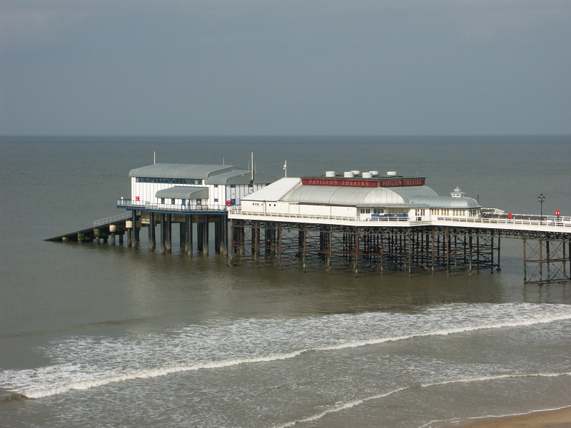
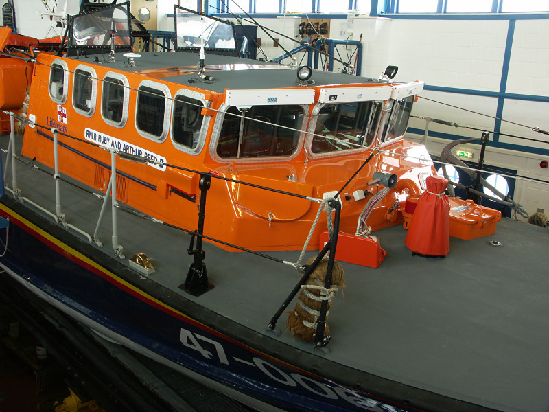
| Cromer Pier dating from 1901 and its Lifeboat Station are shown above. The current Lifeboat Station at the end of the pier was built in 1998 and includes information about the history of the RNLI in Cromer, detailing some of the life saving missions carried out as well as a viewing gallery looking over the boathouse. | ||
 |
 |
 |
| Walsingham, (centre photo) known as England's Nazareth is situated close to the North Norfolk coast and has been a place of pilgrimage since medieval times with both Anglican and Roman Catholic Shrines. | ||
 |
 |
 |
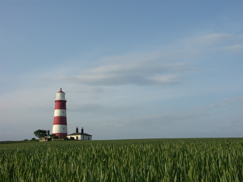
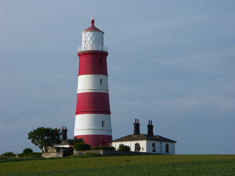
| Happisburgh Lighthouse, another popular place for photography is one of many buildings under threat from coastal erosion at Happisburgh. There is a campaign to save the village from this threat through improved sea defences but arguments rage about whether sea defences are simply a case of moving the problem of coastal erosion to other places along the coast. Many argue that the problems at Happisburgh are as a result of attempts at sea defences further down the coast for example at Sea Palling, others worry that leaving the coast to nature could result in serious consequences in the future and there is concern that flooding, like that of 1953 could be repeated. | ||
|
|
|
|
|
Images Copyright Nicky Griffiths 2003- |