
MATLOCK BATH - 15/05/04
Photos are from today's visit to Matlock Bath in Derbyshire. The area is located to the south of Bakewell, on the A6 road that runs from Bakewell towards Derby, for a map of the area click here. The weather is bright with occasional sunny spells and a temperature of around 19˚C.
 |
 |
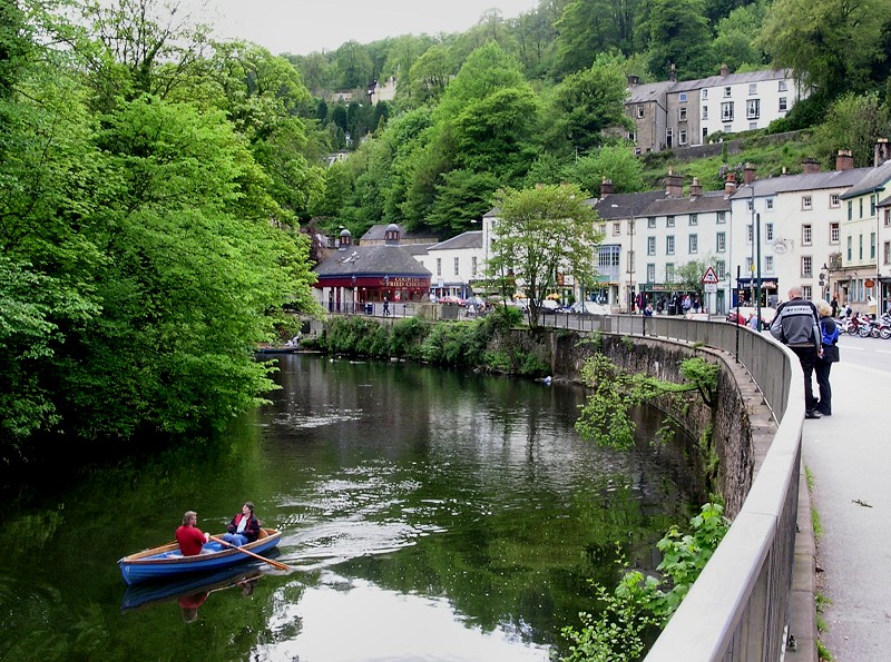 |
| The tourist area of Matlock Bath is located just south of the actual town of Matlock. The river shown in the photos above is the Derwent that runs through the gorge. The area is often accurately described as a seaside resort without the sea. | ||
 |
 |
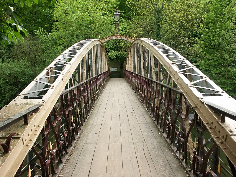 |
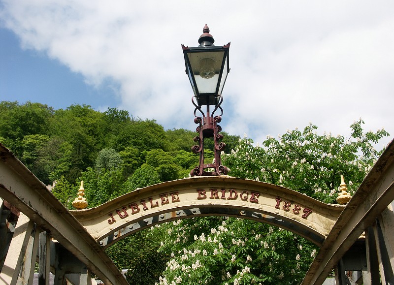
| Jubilee Bridge, constructed in 1887 takes you from the main street across the Derwent to the riverside walk, 'Lovers Walk'. | ||
 |
 |
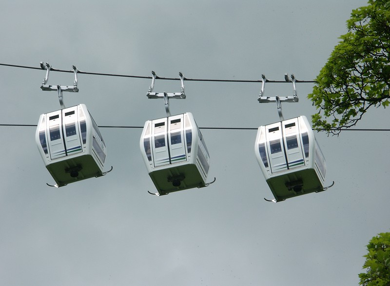 |
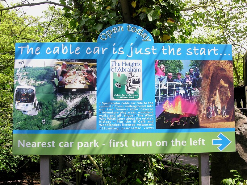
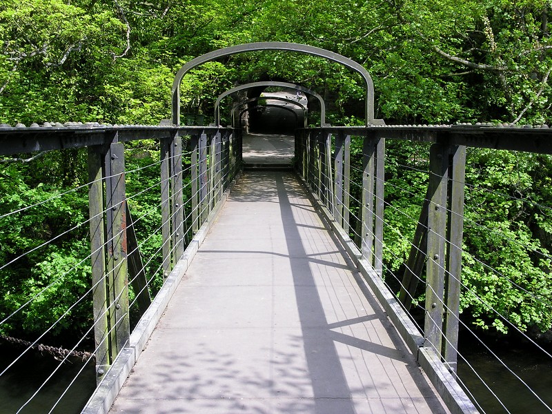
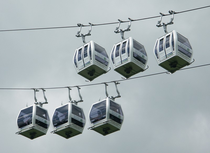
| Another footbridge crossing the river further north takes you to one of Matlock's most popular tourist attractions, the cable cars that take visitors to the Heights of Abraham. | ||
 |
 |
 |
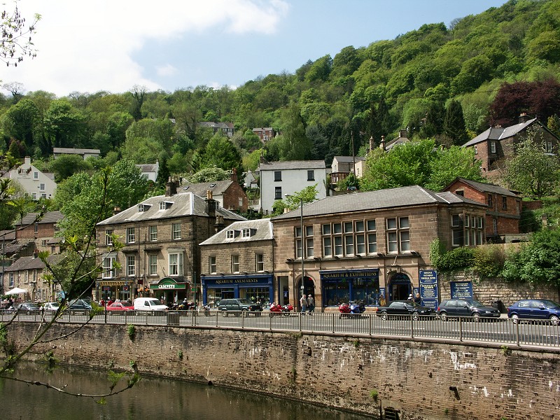
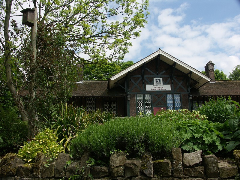
| The photo on the left above shows the Railway Station and Whistlestop Countryside Centre. The building was constructed in 1849 and made in the style of a Swiss Chalet. Looking across the river towards another of Matlock Bath's attractions in the photo on the right above, the Aquarium. The building, dating back to 1883, used to house the Matlock Bath Hydro, where visitors used to bathe in the warm spring water, believed to give health benefits. | ||
 |
 |
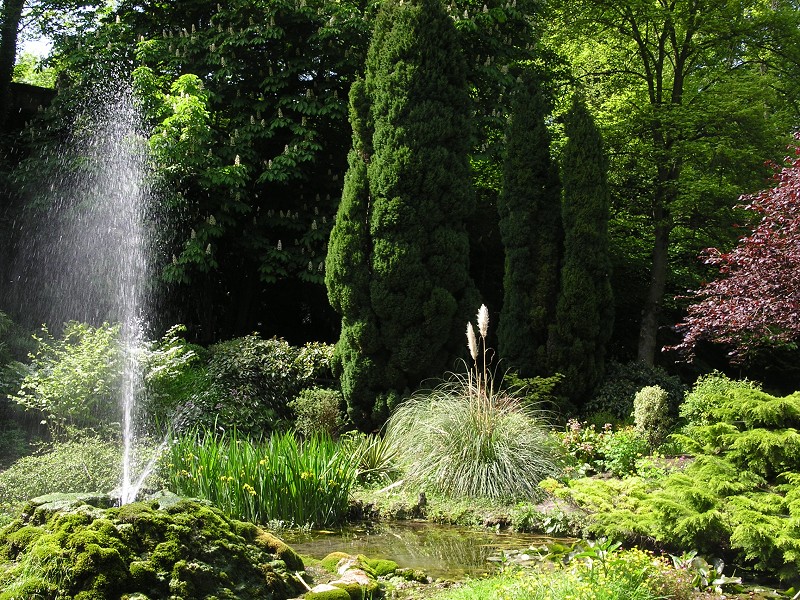 |
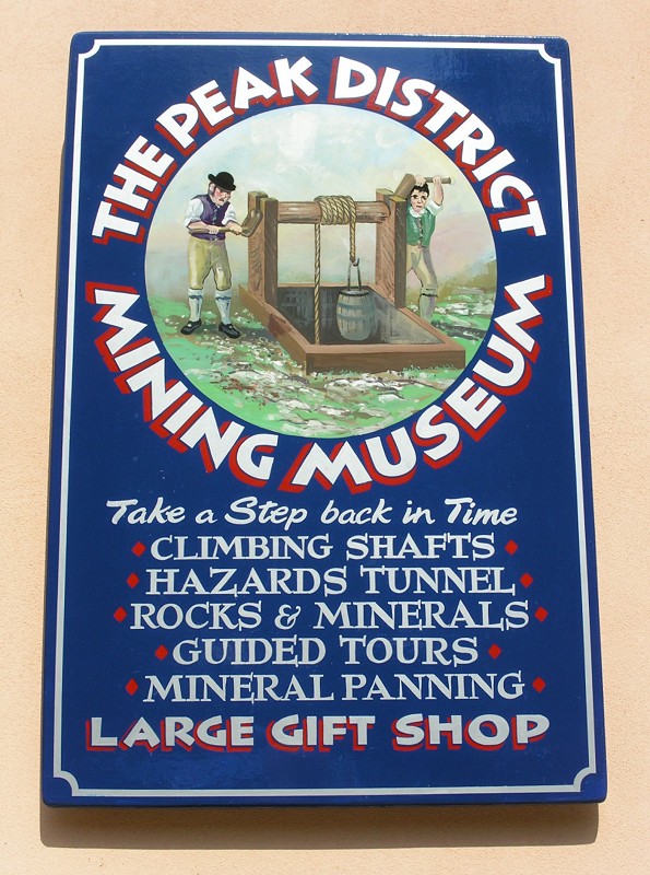
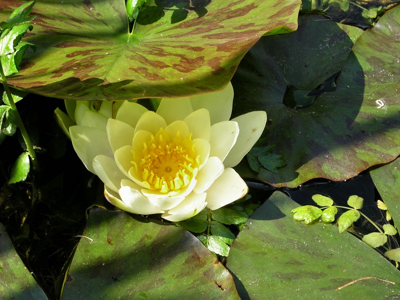
| At the southern end of Matlock Bath is the Peak District Mining Museum and not far away are the Derwent Gardens. Another tourist 'hotspot' here, especially for families with young children is the Gullivers Kingdom Theme Park. To see photos from the famous illuminations and Venetian Nights click here to see photos from 26/09/04. | ||
|
|
|
|
|
Images Copyright Nicky Griffiths 2003- |