
LUDS CHURCH - (19/02/05)
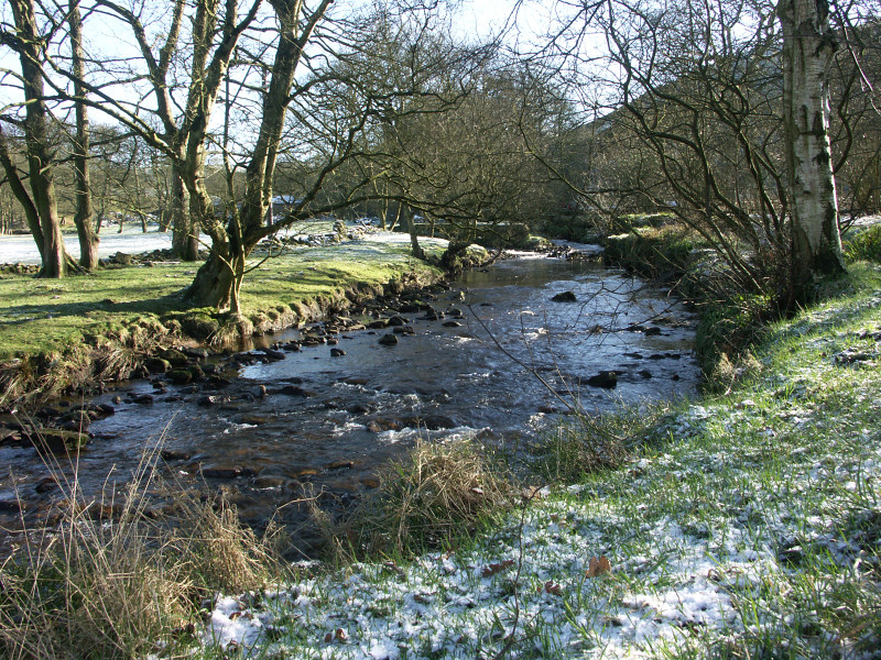
Photos from a walk on the morning of Saturday 19th February are featured on this page. Our walk starts from the small village of Gradbach located to the south west of Buxton, for a map of the area click here. The weather was bright but cold with temperatures only reaching around 3˚C.
 |
 |
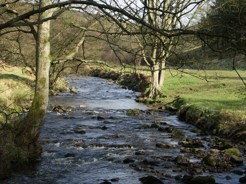 |
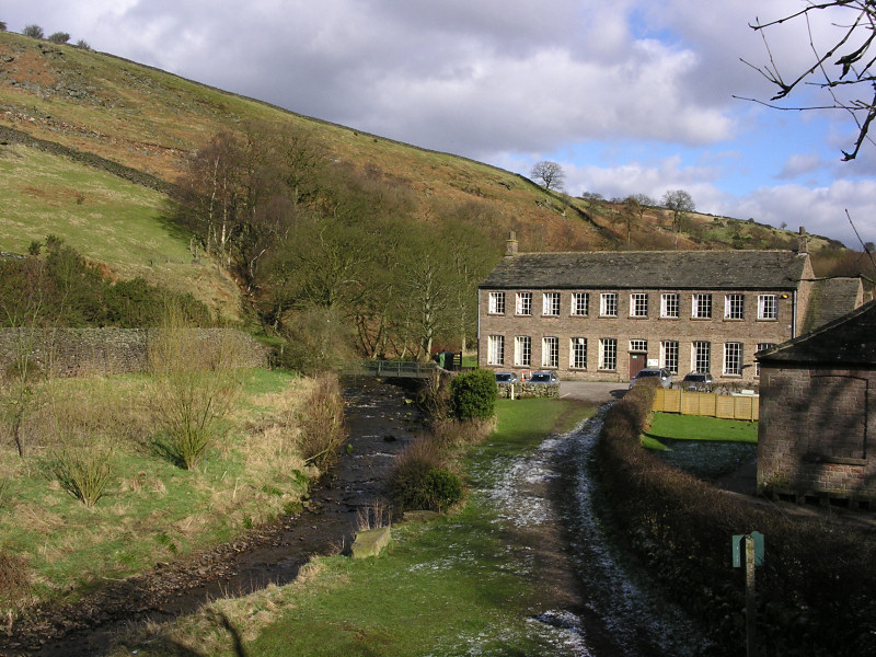
| We set off from near the Youth Hostel at Gradbach walking in a westerly direction along the River Dane until the point where Black Brook joins the river. After crossing Black Brook over a small footbridge we head uphill into a wooded area following signs for Swythamley. At the top of the hill we turn sharp left, walking for a short distance before arriving at Luds Church to the right of the path. | ||
 |
 |
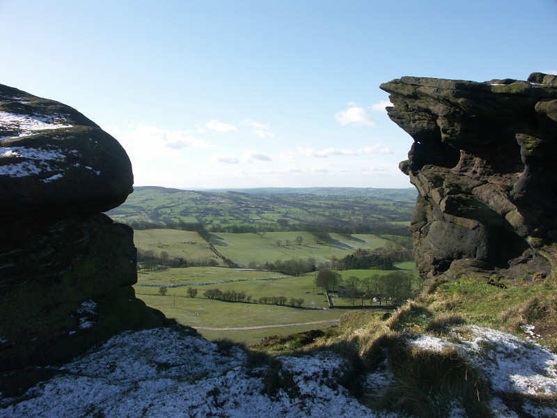 |
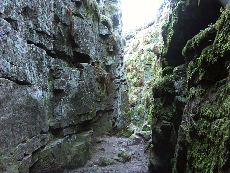
| Luds Church, (left photo) is thought to get its name from being used as a place of worship early in the 15th century by the Lollards. It is an impressive natural chasm in the rock caused by a landslip and is up to 15 metres deep in places. | ||
 |
 |
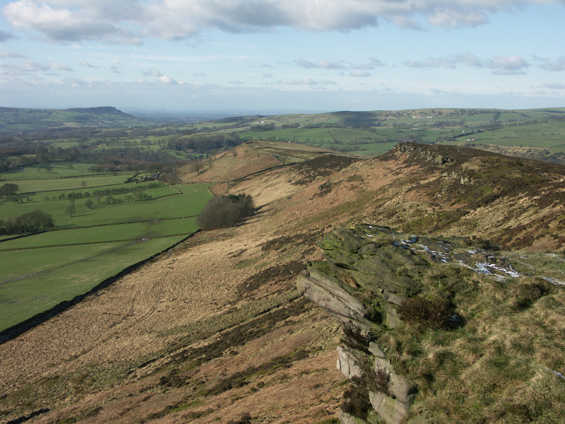 |
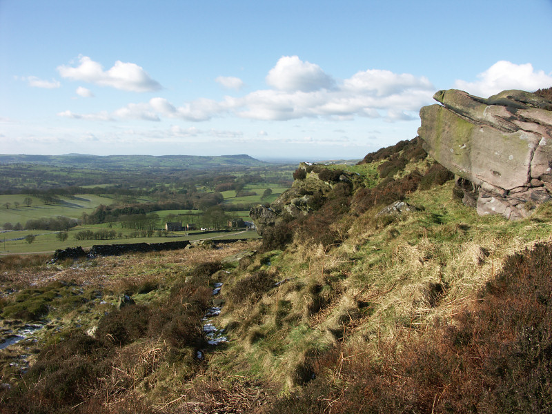
| Walking through Luds Church brings us to Forest Wood before turning right along a route marked 'concessionary path' that heads towards open moors. From here there are walks to the south towards the Roaches or you can head north west along the ridge before turning back towards Gradbach and the River Dane. There are impressive views from the ridge in all directions, towards Shutlingsloe (centre photo) and across Cheshire and Staffordshire, including Tittesworth Reservoir and Bosley Cloud hill, (right photo). | ||
|
|
|
|
|
Images Copyright Nicky Griffiths 2003- |