
MACCLESFIELD FOREST WALK - 30/11/08
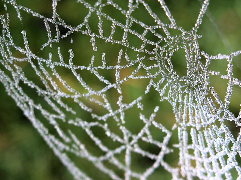
A short walk in Macclesfield Forest starting from the Visitor Centre near Trentabank Reservoir is featured in this latest update to Boots and Paws. The mist that has covered the Cheshire Plain for the last couple of days disappeared on higher ground over the weekend but temperatures still struggled to reach above 0˚C in the forest during the day.
 |
 |
 |
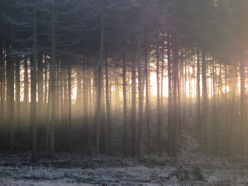
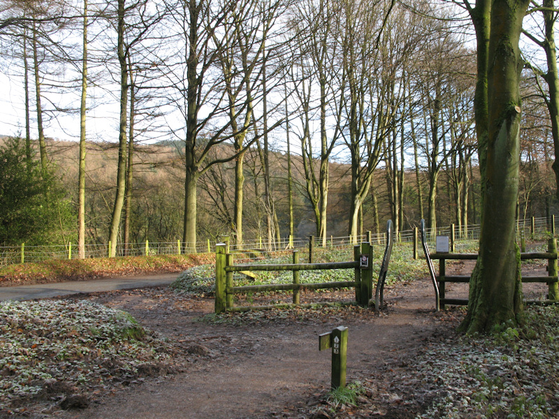
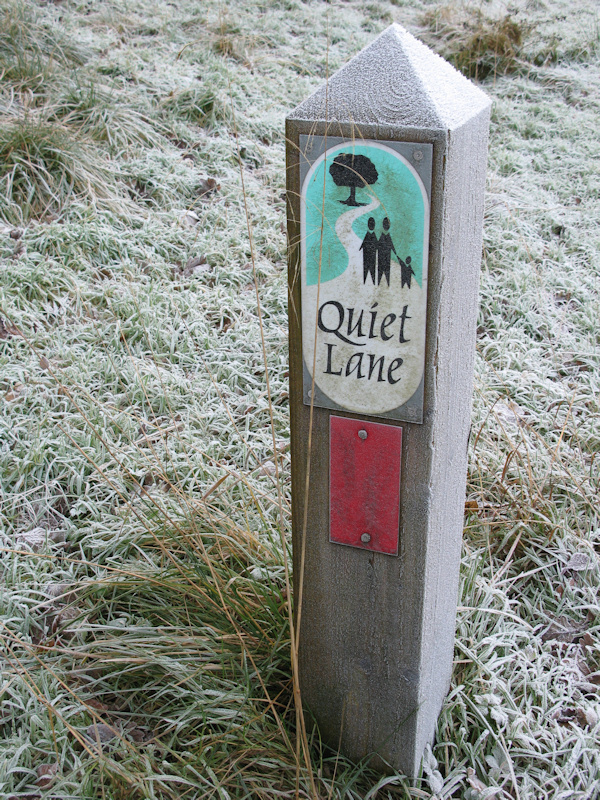
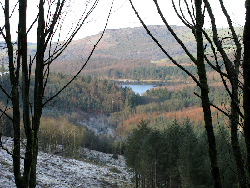
| Late on Saturday afternoon and the forest was still shrouded in mist, (left photo). Sunday morning was clear but cold with icy conditions underfoot in places. The walk detailed on this page is one of the numbered and waymarked circular routes starting from the Visitor Centre where there are facilities including a Ranger Centre, a food bar, car parking and toilets. There are good paths for most of the walk which is around 5km in length. To follow the route taken turn right out of the Visitor Centre along the easy access path past the picnic area on your right, before turning to the right and heading uphill in the direction of Shutlingsloe, 'The Cheshire Matterhorn'. | ||
 |
 |
 |
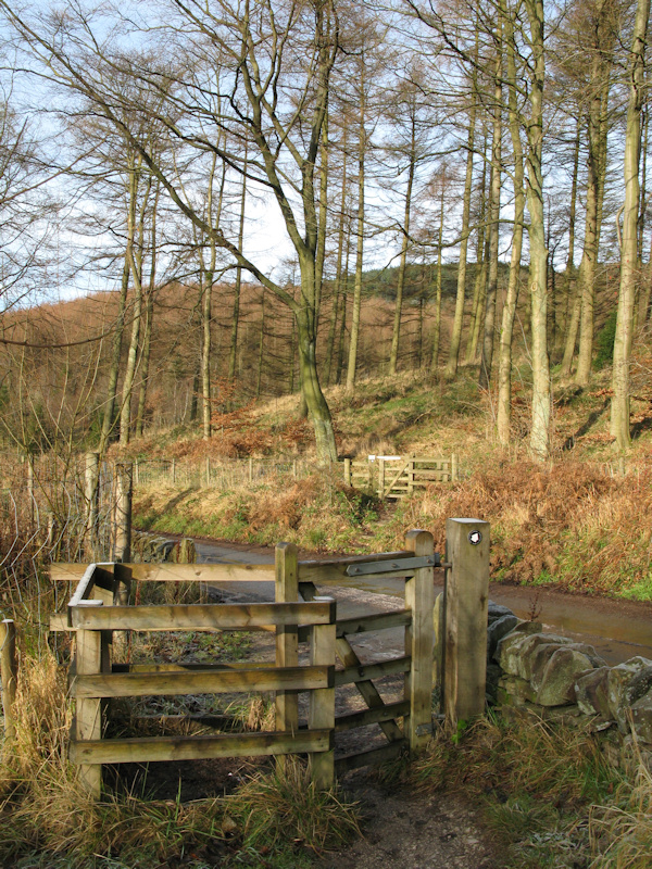
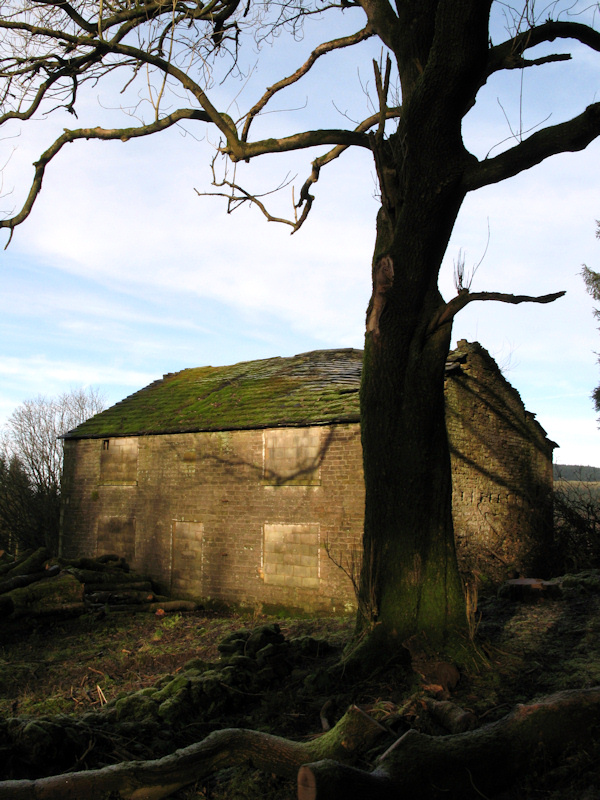
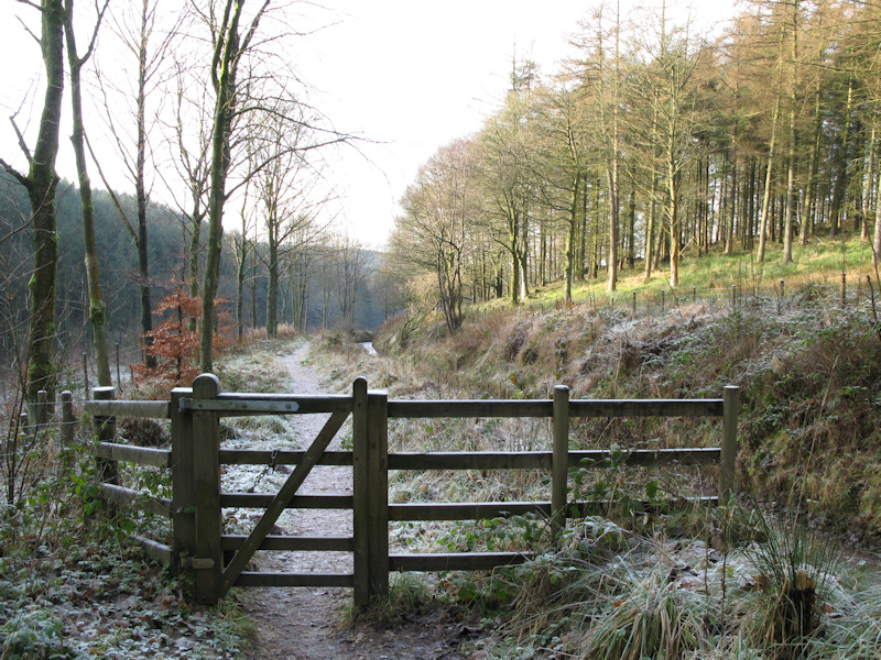
| It is all uphill walking for a short distance following the route towards Shutlingsloe. On reaching a four way junction turn right still heading uphill through the trees before the path to Shutlingsloe turns off to the right on the edge of High Moor. At this point carry straight on and before long you will reach the ruins of Ferriser Farm. There are only gated stiles like those shown above on this route making it an ideal walk for dogs. | ||
 |
 |
 |
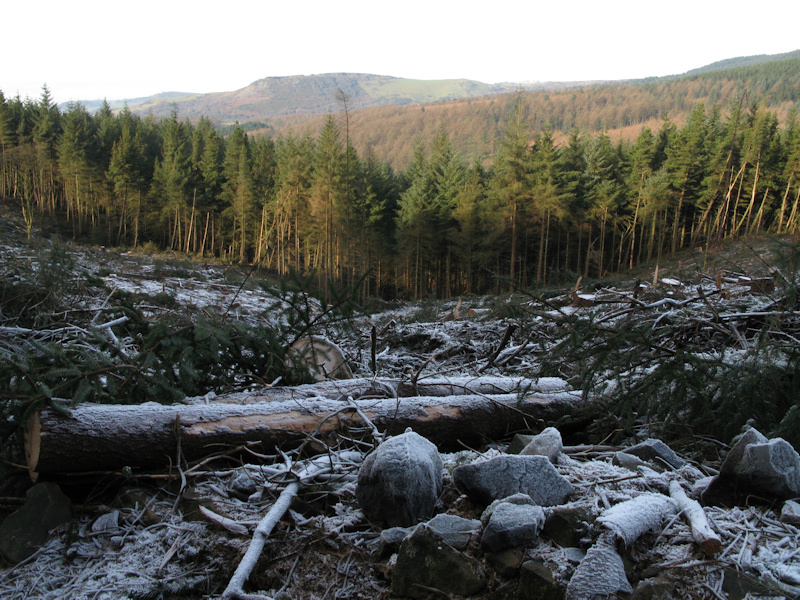
| There is a lot of forestry clearance underway at the moment and large areas of the forest have been cleared of the mostly pine trees, although some broad leaved trees have been removed as well. After passing Ferriser Farm the path leads to the Standing Stone area of the forest, just before you reach the road turn left to head back downhill following signs for Trentabank. The path runs alongside the road through the forest before crossing it twice and following the route will eventually bring you back to the Visitor Centre, with a popular short detour to look at the Heronry and Trentabank Reservoir recommended. | ||
|
|
|
|
|
Images Copyright Nicky Griffiths 2003- |