
CARSINGTON WATER - 04/10/03
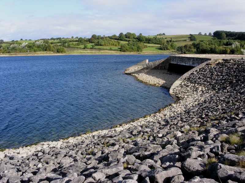
Today we visit Carsington Water, this Severn Trent Water Authority Reservoir is located in Derbyshire and can be reached from the B5035 that runs from Ashbourne towards Matlock, for a map of the area click here.
 |
 |
 |
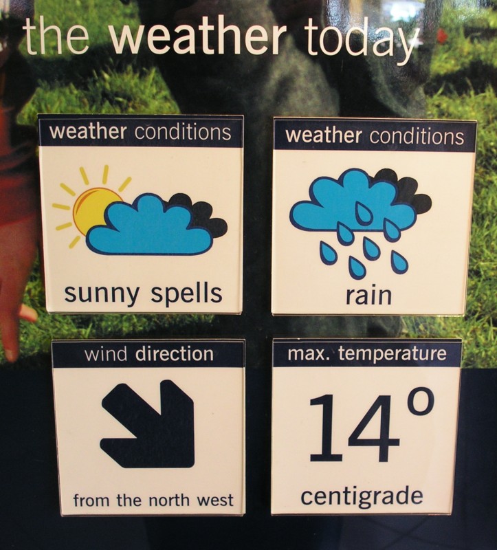
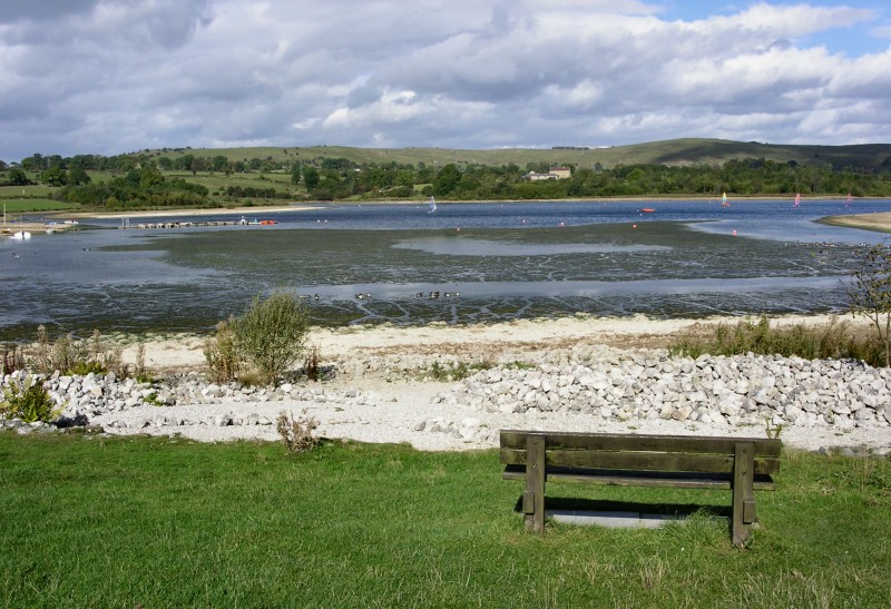
| The weather today as left photo, sunshine and showers, although I think they were a bit optimistic with the temperature, it was more like 10˚C! We walk the 1.5 miles (3 mile round route) from the Visitor Centre towards Millfields at the southern end of the reservoir along good flat paths. | ||
 |
 |
 |
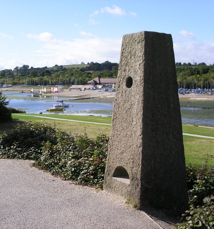
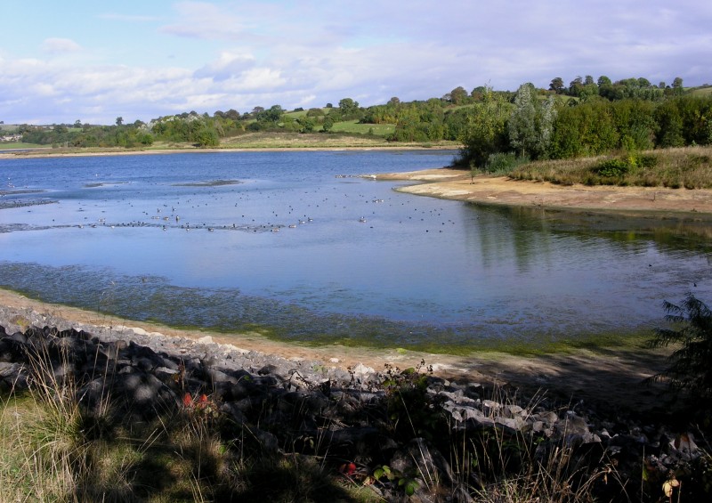
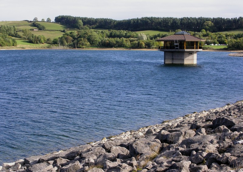
| The reservoir was first opened by Her Majesty the Queen in May 1992, and is the ninth largest reservoir in England. Planning for the reservoir first started in the 1960's, the site was considered suitable due to the local resources and lack of impact on the local community, with only two buildings having to be demolished to make way for the reservoir. While we are here we also walk around 'Stones Island', the holes in the stones, (see left photo) focus the eye on features of the surrounding countryside. | ||
 |
 |
 |
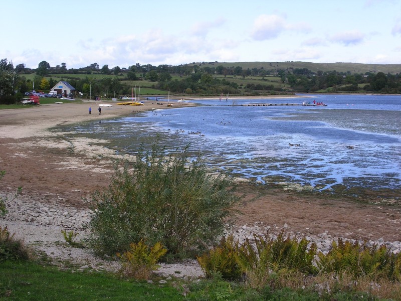
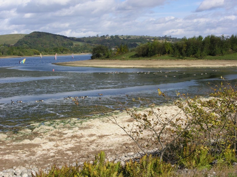
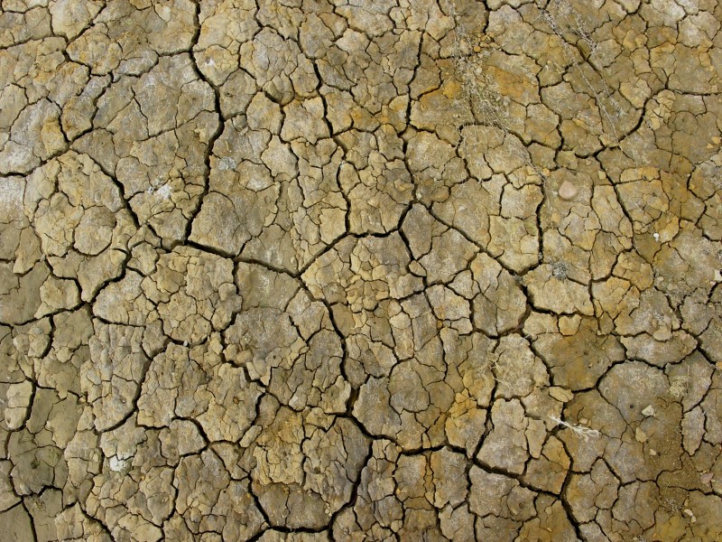
| The water level looks low after the dry weather of late, the exposed earth cracking in the dry conditions, as left photo. The walk around the entire lake is 7-8 miles in length. | ||
 |
 |
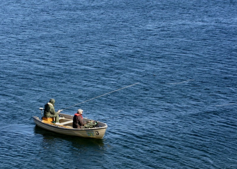 |
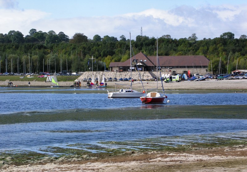
| There are many award winning facilities and attractions at the reservoir, with a visitors centre, including a restaurant, shops and exhibition, a sailing club and watersports centre as well as a wildlife centre and playground, it is popular with walkers, cyclists and anglers. | ||
|
|
|
|
|
Images Copyright Nicky Griffiths 2003- |