
DERBYSHIRE BRIDGE/GOYT VALLEY - 10-11/10/03
Tonight we visit Derbyshire Bridge, you can find the bridge signposted from the A537 Macclesfield to Buxton Road. There is a car park, picnic site and a information board about the local area, (Goyt Valley) here. You cannot drive any further towards the Goyt Valley from here as a one way system is in operation.
 |
 |
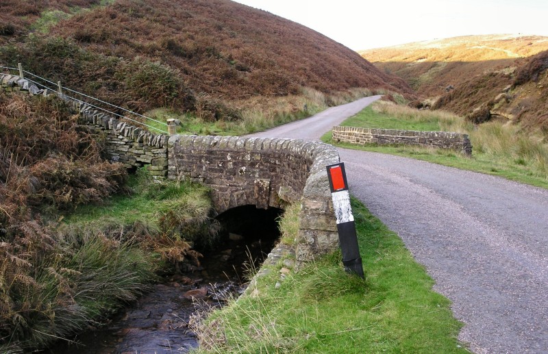 |
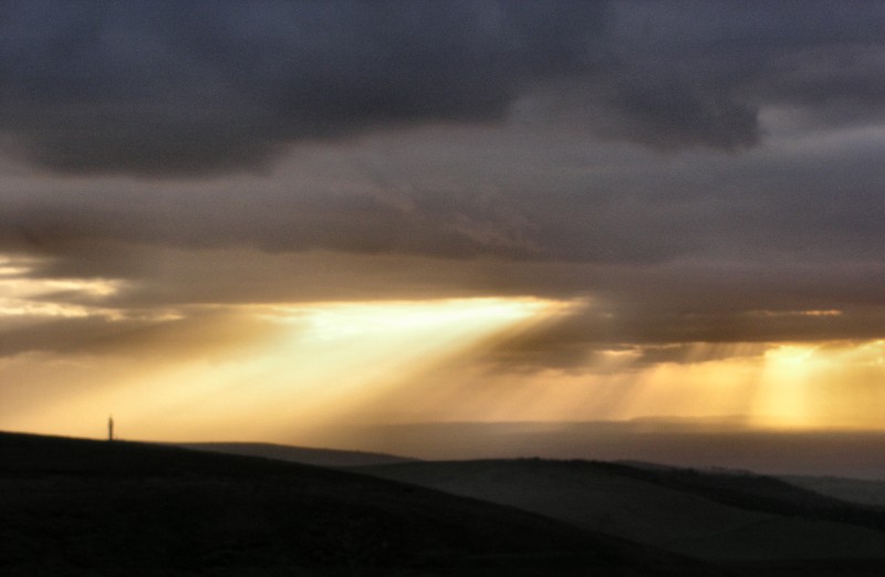
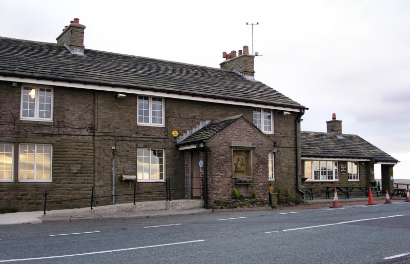
| Centre photo shows the Cat & Fiddle on the main road, the second highest pub in England at a height of 515 metres, and left photo the view towards the west, with the Telecom tower on Sutton Common in the left of the photo. Derbyshire Bridge in the photo on the right, the bridge used to be where the counties of Cheshire and Derbyshire met. | ||
 |
 |
 |
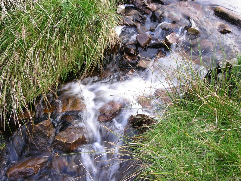
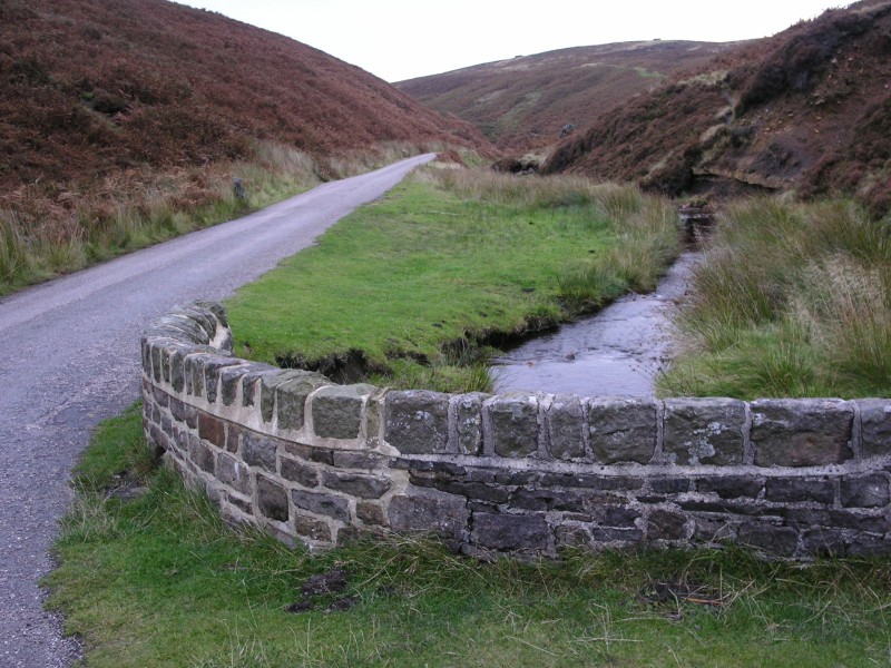
| Left photo shows the River Goyt. Centre photo looks down the river in the direction of the two reservoirs Fernilee and Errwood. Right photo the view in fading light as we head back from the bridge towards the car park. | ||
 |
 |
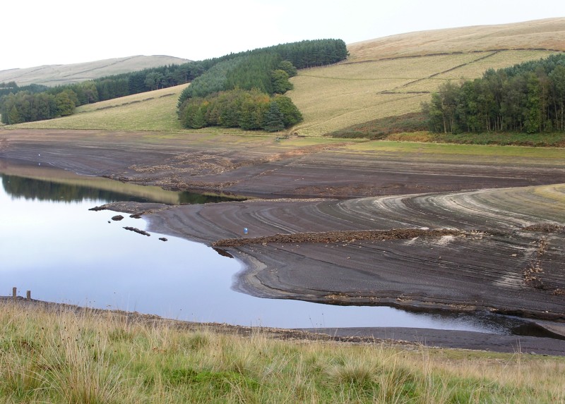 |
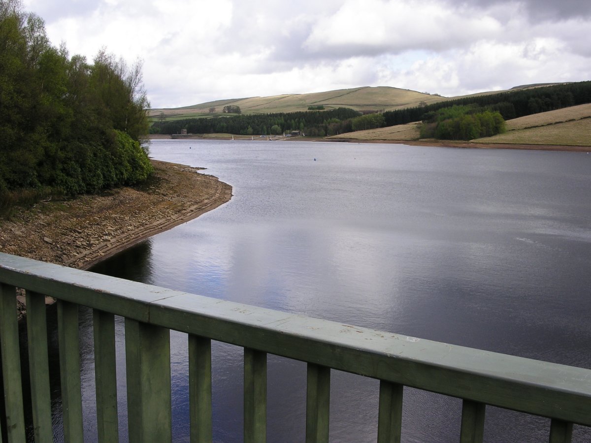
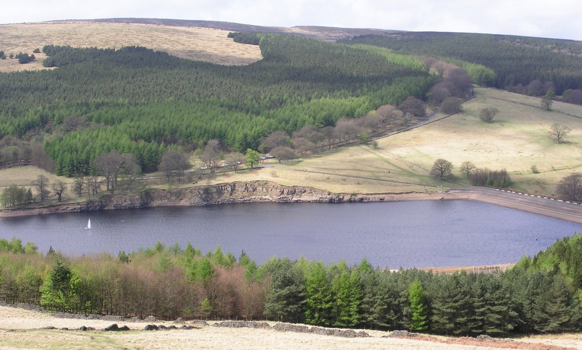
| The next day we returned to the area, left and right photos show Errwood Reservoir, very low after the dry summer. To give you an idea of exactly how low you can see the photos of the reservoir taken in April by clicking here, or here, to see a image taken from the same position as the photo on the left. | ||
|
|
|
|
|
Images Copyright Nicky Griffiths 2003- |